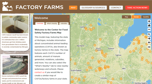
This model interactive map, featuring the state of Michigan, includes information about concentrated animal feeding operations (CAFOs, also known as factory farms or animal factories) in the state. The map features each CAFO's number of animals, amount of manure generated, violations, subsidies, and more. You can also select the "What's Nearby" tab to view nearby waterways and schools.